Steady Showers: North Dakota’s 48 Hour Precipitation Totals
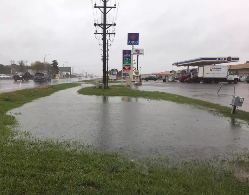
Much of North Dakota was blanketed with steady showers to start the week.
Especially on Monday with some added rain and thundershowers on Tuesday. A few additional sprinkles or light rain showers are possible this afternoon.
Meanwhile, the traditional tornado ally states of Kansas, Oklahoma, Missouri, Nebraska, and Texas continue to deal with deadly tornadoes. The devastating storms continue to level homes and wreak havoc on everyday life in these states the last few weeks.
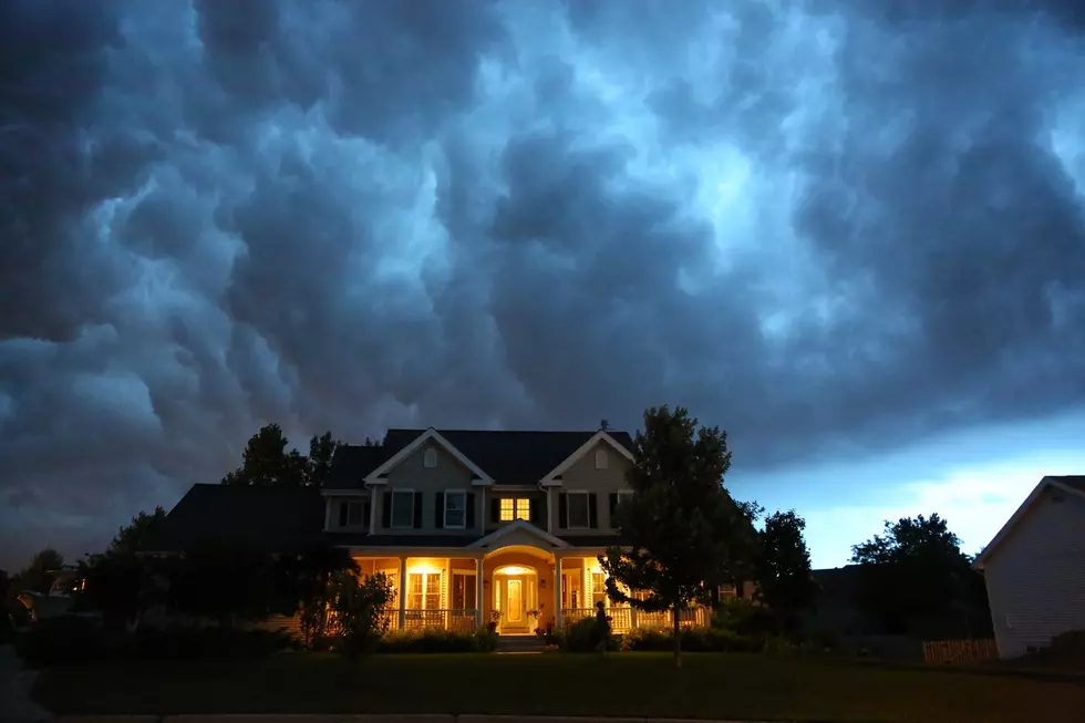
The first "Severe Thunderstorm Watch" of the season in our area was issued on Monday night.
We've been on the north side of these severe weather systems and have only seen rain with a few light thunderstorms. Although the counties to the southwest of Bismarck Mandan, (Sioux, Grant, Hettinger, Bowman, Slope, and Adams) were briefly in a "Severe Thunderstorm Watch" Monday afternoon. One thunderstorm in the watch area did drop the most rainfall in the state Monday evening.
A good share of the state was "abnormally dry" or currently experiencing "drought conditions" before our current wet cycle in the last couple of weeks.
Here's a look at the latest drought monitor map for North Dakota from the U.S. Drought Monitor as of Thursday, April 25th, 2024.
Even before the rain we have seen the last couple of weeks, the state has seen some improvement from last month's drought map. Virtually our entire listening area in south-central and southwest North Dakota now has adequate moisture. The southeast part of the state has also seen improvement and is no longer abnormally dry.
So, who got the most rain from our most recent round of showers in the state?
According to the CoCoRaHS website, and weather.us the rain was pretty evenly distributed across the state, with a spot in southeast Hettinger County getting the most rain. Here's the last 48-hour total for 5/6 and 5/7.
Grand Forks received .52 inches of rain.
Valley City received .23 inches of rain.
Wing received .38 inches of rain.
Menoken received .30 inches of rain.
Bismarck received .38 inches of rain.
West Fargo received .24 inches of rain.
Fargo received .33 inches of rain.
Mandan received .43 inches of rain.
Lincoln received .54 inches of rain.
Beulah received .25 inches of rain.
Hazen received .15 inches of rain.
Minot received .18 inches of rain.
Garrison received .20 inches of rain.
Carrington received .70 inches of rain.
Sterling received .44 inches of rain.
Lidgerwood received .88 inches of rain.
Williston received .23 inches of rain.
7 miles southeast of Regent 1.20 inches of rain. (The highest total in the state over the last 48 hours)
LOOK: The most extreme temperatures in the history of every state
Gallery Credit: Anuradha Varanasi
The 10 Smallest Towns in North Dakota for 2024!
More From US 103-3