Looks Like Somebody In North Dakota Is Getting Rain Next Week
"A pattern change is coming." That's what Jason from the National Weather Service in Bismarck told me this afternoon in a phone interview. The 90s' could be a thing of the past, as we transition to more seasonal highs of 80s' and even 70s'. "I'm not saying we've seen our last 90 degree day, but it looks like we will trend cooler over the next couple of weeks," said Jason.
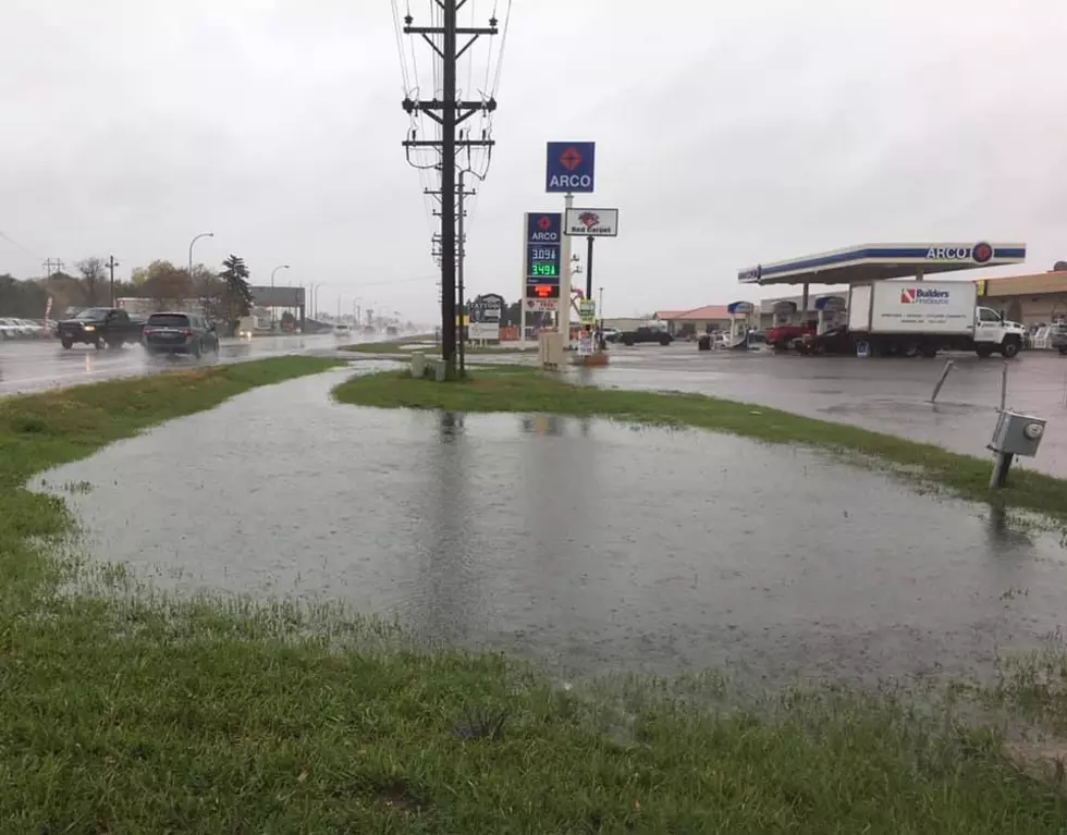
With the cooler weather, something is in the forecast that we haven't seen in a long time. Beginning Monday evening, and continuing through Thursday of next week, we have rain in the forecast EVERYDAY. I know it caught my eye. We have not seen a forecast like this in awhile.
Now, does this mean the floodgates are going to open up? This rainy period coming up is not expected to be a drought buster. For one thing, the moisture is going to be coming from the Pacific and not the Gulf, which tends to give us bigger rains. However, the possibility of strong thunderstorms can't be ruled out, which could bring us some decent rain. Right now, central and eastern North Dakota are the favored locations. This could change as always, but those areas of North Dakota could see higher dew points, which could fuel some storms with heavy rain, according to the National Weather Service.
After talking with a farmer friend of mine this past weekend, the bean crop could still benefit from moisture. Hopefully, we'll see that next week. Fingers crossed. High aspirations and low expectations right?
8 Snakes You Could Encounter In North Dakota
LOOK: What major laws were passed the year you were born?
More From US 103-3


