Significant Winter Storm To Impact North Dakota This Weekend
Today, you can expect a swath of 1 to 2 inches of light snow in south-central North Dakota.
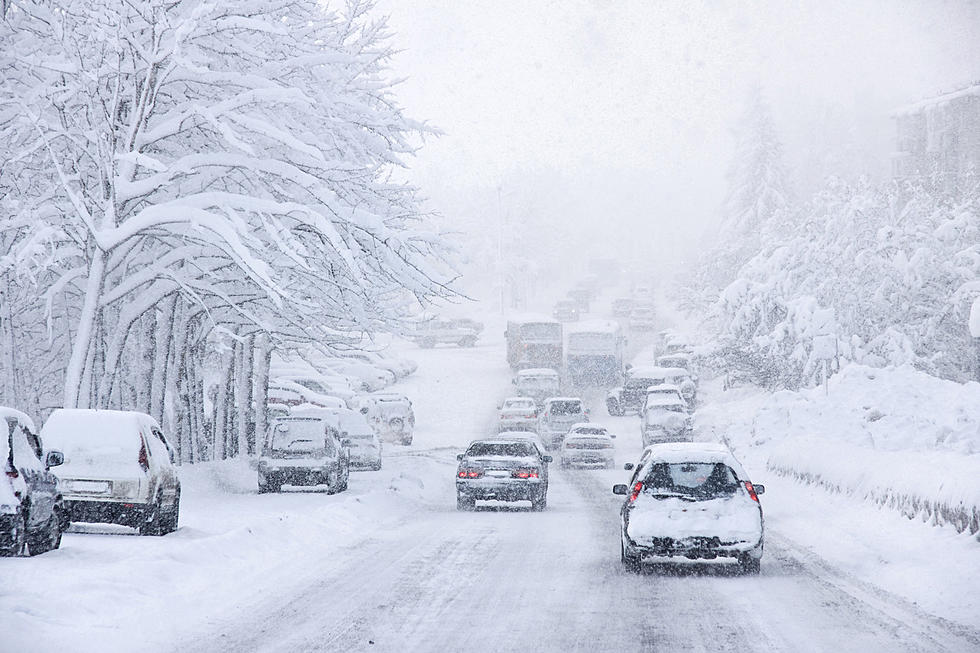
That will not be the main event. Another system is set to impact North Dakota moving from west to east starting Friday Night.
A Special Weather Statement from the National Weather Service has been issued.
The following counties are expected to be impacted: Oliver, McLean, Emmons, Logan, Burleigh, Morton, Kidder, Grant, McIntosh, and Sioux. This includes the cities of Hazen, Center, Washburn, Underwood, Wilton, Turtle Lake, Bismarck, Mandan, Steele, Tappen, Elgin, Carson, New Leipzig, Fort Yates, Selfridge, Solen, Linton, Strasburg, Napoleon, Wishek, and Ashley.
Accumulating snow and strong winds are likely Friday evening through Saturday night.
According to the National Weather Service, an intense low-pressure system will bring several bands of potentially heavy wet snow. Thundersnow is possible in some areas. Several inches of snow are possible with the highest amounts most likely to occur across northern North Dakota and into the James River Valley.
At this time it looks like the Bismarck Mandan area is in line for 3 to 4 inches of snow.
This could change as there is still some uncertainty with the path of this system. In addition, the combination of snow and wind may result in hazardous travel, with snow-covered roads and significant reductions in visibility.
If you have plans to travel during this timeframe be sure to pay attention to this Townsquare Media station for all the latest updates.
Expect Winter Weather Advisories, Winter Storm Watches, or Warnings to be issued later today.
LOOK: The oldest cities in America
Gallery Credit: Annalise Mantz
Beautiful North Dakota home found full of dead animals.
Gallery Credit: John Seil
More From US 103-3