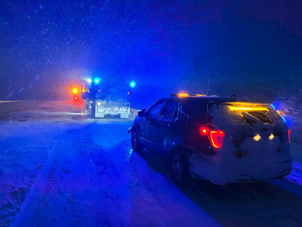
Confidence Is Growing For Potential North Dakota Winter Storm
Meterologists from around the state of North Dakota have been hinting about an upcoming potential winter storm for North Dakota.
Since they get paid to be right about 20% of the time, I tend to look into long-range models myself. I mean, after all, TV weathermen were replaced by an app a while ago (shots fired). Just kidding, kind of.
The meteorologists at WDAY TV seem to have a pretty good grasp when it comes to potential storms, in my humble "weather nerd" opinion.
They have been talking about a Colorado Low that could bring significant precipitation to our region next weekend (March 14th & 15th).
If you are not a weather nerd like myself, Colorado lows are the storms that typically drop the heaviest snows in North Dakota. The kind they sometimes measure in feet, not inches.
Check out these weather models that were generated on 3-7-25 and some potential snowfall totals for North Dakota.


These are from the GFS/American model. Again, it's important to note these are not forecasts; they are a model, which the National Weather Service and meteorologists use to make their forecasts.
It's also a long way out (7 days), so a lot could change. The American model is showing heavier precipitation amounts than the European model at this time.
According to the map above, North Dakota could see anywhere from a 1/2 a foot to close to TWO feet of snow.
Bismarck looks to be closer to the 6-inch-or-less snowfall mark.
Again, this is NOT a forecast, so settle down, people. The models are interesting to look at and not a "doomsday" forecast.
One thing is for sure: we could use the precipitation, as we are about to go into a "Fire Weather Watch" next week.
Our meteorologists with Severe Studios will continue to monitor this potential winter storm on our Townsquare Media Stations.
LOOK: The most extreme temperatures in the history of every state
Gallery Credit: Anuradha Varanasi
North Dakota's 15 Most Out in the Middle of Nowhere Towns
More From US 103-3