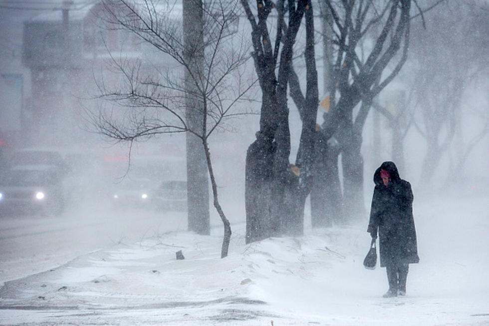
Blizzard Conditions To Develop Over Much Of North Dakota Today
You wouldn't know it as you step outside this morning in Bismarck, (temps are a balmy 40 degrees) but something is brewing weatherwise in North Dakota. According to the National Weather Service, Winter Weather Advisories have been issued over the eastern 1/3 of the state that could turn into ground blizzard conditions. The rest of North Dakota is under a Wind Advisory with wind gusts of 40 to 50 miles per hour.
The high temperature of the day is happening right now as temps will be falling into the single digits by late this afternoon. We won't have to worry about blizzard conditions in the Bismarck Mandan area since we've had several melting days in a row and our snow has a crust over it. However, look for some blowing and drifting snow, especially in open areas.
Blizzard conditions are expected from a line starting at the Candian border down to Devils Lake to Valley City and down to the South Dakota border. The blizzard conditions will extend east over to the Red River Valley. Wahpeton, Fargo, and Grand Forks will all be impacted. Once again, ground blizzard conditions are expected, with no additional snow. They have a much deeper snowpack in eastern North Dakota and that snow is expected to really blow around.
These Winter Weather Advisories go into effect at 11 am and continue until midnight tonight. Dangerously cold wind chills are expected to follow with windchills near 30 below. This storm will usher in arctic air for the state on Wednesday with sub-zero highs for much of the state. If you must travel today make sure you have a winter survival kit and slow down if you run into low visibility areas.
KEEP READING: Get answers to 51 of the most frequently asked weather questions...
10 More North Dakota Towns Nobody Can Pronounce
More From US 103-3