Winter Weather Advisory: 3-5 Inches Possible.
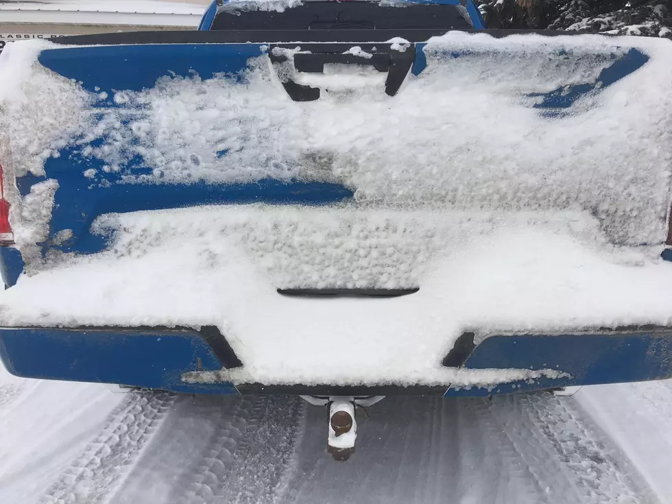
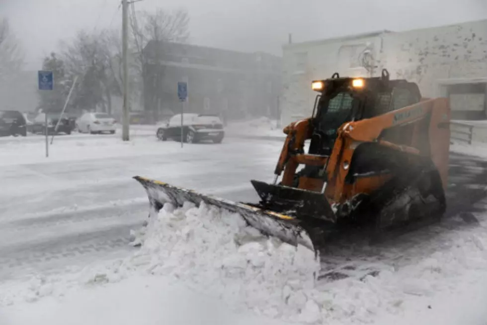
After a weekend with a lot of snow melting it appears it's all coming back. We have a Winter Weather Advisory for the Bismarck Mandan area. 3-5 inches possible over the area with another inch tonight. So, don't put away that snowblower quite yet. Here's the latest from the National Weather Service.
URGENT - WINTER WEATHER MESSAGE
National Weather Service Bismarck ND
634 AM CST Mon Feb 24 2020

NDZ018>022-031>036-040>047-050-242045-
/O.CON.KBIS.WW.Y.0009.000000T0000Z-200225T1200Z/
Dunn-Mercer-Oliver-McLean-Sheridan-Golden Valley-Billings-Stark-
Morton-Burleigh-Kidder-Slope-Hettinger-Grant-Bowman-Adams-Sioux-
Emmons-Logan-McIntosh-
Including the cities of Killdeer, Halliday, Beulah, Hazen,
Center, Garrison, Washburn, Underwood, Wilton, Turtle Lake,
Mcclusky, Goodrich, Beach, Medora, Dickinson, Mandan, Bismarck,
Steele, Tappen, Marmarth, Mott, New England, Elgin, Carson,
New Leipzig, Bowman, Hettinger, Fort Yates, Selfridge, Solen,
Linton, Strasburg, Napoleon, Gackle, Wishek, and Ashley
634 AM CST Mon Feb 24 2020 /534 AM MST Mon Feb 24 2020/

...WINTER WEATHER ADVISORY REMAINS IN EFFECT UNTIL 6 AM CST /5 AM
MST/ TUESDAY...

* WHAT...Snow expected. Total snow accumulations of 2 to 4
  inches southwest and 3 to 6 inches south central. Lesser
  amounts north and east. Locally higher amounts are likely
  south central.

* WHERE...Much of southwestern and south central North Dakota.

* WHEN...From 3 AM CST /2 AM MST/ Monday to 6 AM CST /5 AM MST/
  Tuesday.

* IMPACTS...Plan on slippery road conditions. Patchy blowing
  snow could reduce visibility.

PRECAUTIONARY/PREPAREDNESS ACTIONS...

Slow down and use caution while traveling.

The latest road conditions for the state you are calling from can
be obtained by calling 5 1 1.
More From US 103-3