Winter Weather Advisory for The Area **Update 12/15**
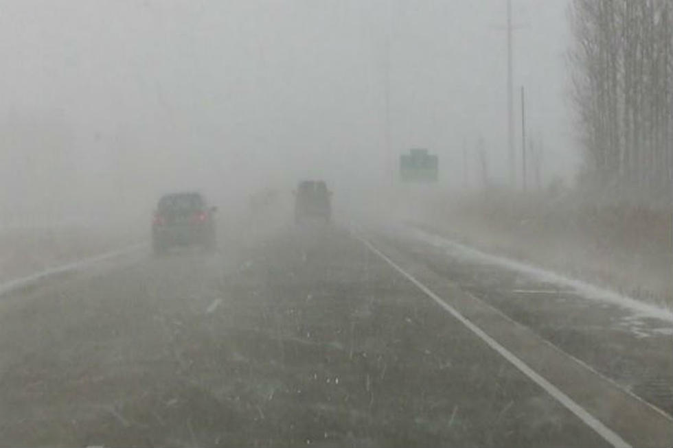
By the looks of it, the area could have a white Christmas. The National Weather Service has issued a WINTER WEATHER ADVISORY, until 6 p.m. Wednesday (12/16) and with this system, the area could get as much as 7 inches of snow.
Snow is expected to develop across western North Dakota Tuesday morning, then spread into central North Dakota Tuesday night through Wednesday. The heaviest snowfall is forecast from far southwest and southeast North Dakota, through most of central North Dakota including the James River Valley. Snowfall totals could range between 4 and 7 inches through Wednesday afternoon.
Even though the track of the storm is still early, the early predictions of the storm track is calling for snow totals any where from 4-7 inches of snow for the area. The effected areas will include-
- Bismarck
- Mandan
- Fort Yates
- New Salem
- Rugby
- Center
- Steele
- Jamestown
- Linton
- Ashley
- Oaks
The timing of the storm will begin Tuesday night with freezing drizzle through Wednesday. Reduce visibility is possible with the potential of difficult driving conditions are possible.
The WINTER WEATHER ADVISORY is in effect until 6 p.m. Wednesday. (12/16)
More From US 103-3


