Labor Day Storms: Area Rainfall Totals Across North Dakota
The weather people actually got it right on Labor Day.
Not only did they correctly forecast the Labor Day weekend heatwave but they also got it right with heavy rain in the forecast Monday evening (September 4th, 2023).
Two for two if you will. The oppressive heat and humidity clashed with a cold front Monday evening that set off some pretty impressive thunderstorms.
South Central North Dakota received the bulk of the rain and storms, but some of the storms lingered all the way into northeast North Dakota where tree damage was reported around Grand Forks.
Peak wind gusts reached 80 miles per hour in a few of these storms.
It appears that the Bismarck, Mandan, and Lincoln areas were spared from the strongest wind gusts. However, I did some small limbs down across the city. Heavy rain did fall bursting the Bismarck Bubble. Anywhere from an inch to an inch and three-quarters fell inside the metro.
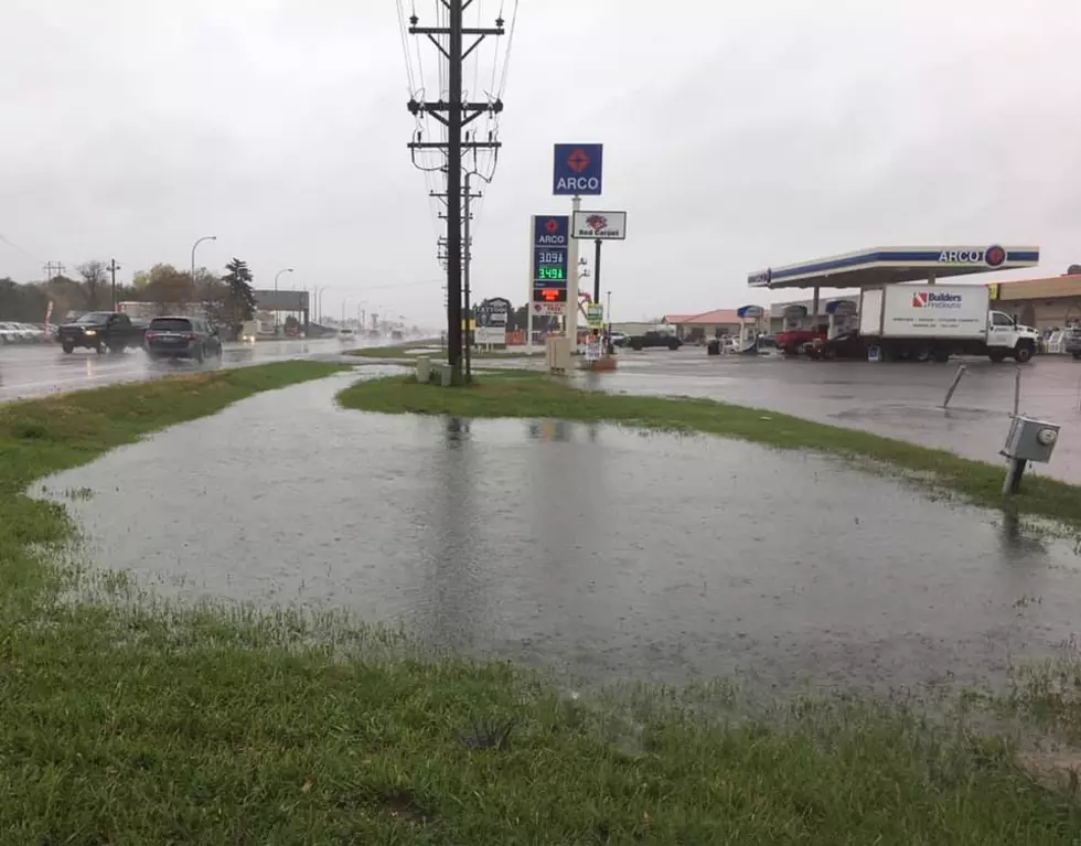
Here are your rainfall totals across North Dakota from the Labor Day storms, according to weather.us.
Bismarck-1.25 inches of rainfall.
Mandan-1.53 inches of rainfall.
Lincoln-1.18 inches of rainfall.
Sterling-1.28 inches of rainfall.
Menoken-1.75 inches of rainfall.
Driscoll-1.68 inches of rainfall.
5 miles northwest of Wilton-3.10 inches of rain.
Wing-1.53 inches of rain.
Hebron-1.31 inches of rain.
Flasher-.75 inches of rain.
Carson-1.75 inches of rain.
5 miles southwest of Golden Valley-3.44 inches of rain (highwater mark for North Dakota).
Minot-.18 inches of rain.
Jamestown-.52 inches of rain.
Tappen-1.16 inches of rain.
Bowdon-2.1 inches of rain.
Grand Forks-.66 inches of rain.
Fargo-.09 inches of rain.
KEEP READING: What to do after a tornado strikes
10 Things about Fall To Look Forward to in North Dakota
More From US 103-3


