Just in time for holiday travel, the area will be effected by another clipper system. It seems like this is the year of the clipper. Let's break it down for you.
Bismarck and the surrounding counties can't get a break! Since the Arctic front passed through the area last week, it seems like it has a grip and won't let loose.
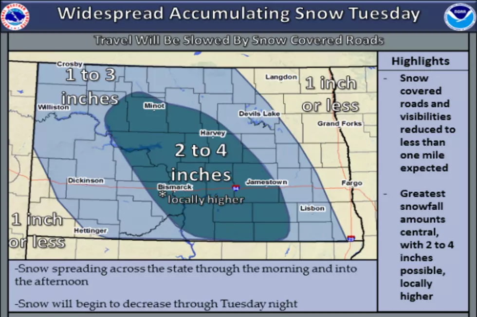
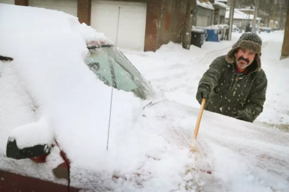
The snow has already started to fall in Bismarck and surrounding area. Bismarck and Mandan are under the influence of a Winter Weather Advisory, which could be updated to a WINTER STROM WARNING as the system moves in from the West.
Winter weather and the coldest temperatures of the season are expected to affect the area and the first widespread snow event is gearing up to dump the area with up to 6 inches of snow.
Here we go again, The National Weather Service is busy at work- The Bismarck-Mandan area has a couple weather statements issued by the National Weather Service.
The National Weather Service in Bismarck has issued a BLIZZARD WARNING through Saturday afternoon as the area will experience an arctic clipper moving through quickly Friday, that will drop temperatures, bring gusty winds and will result in drifting and blowing snow.
The start of the New Year kicks off with very cold weather start. It is not often The National Weather Service uses the tern LIFE THREATENING and when they do it catches our attention.