Ethan Miller / Getty Images
The National Weather Service in Bismarck has issued a SEVERE THUNDERSTORM WATCH for most of the area until 11 p.m. Monday, August 1st.
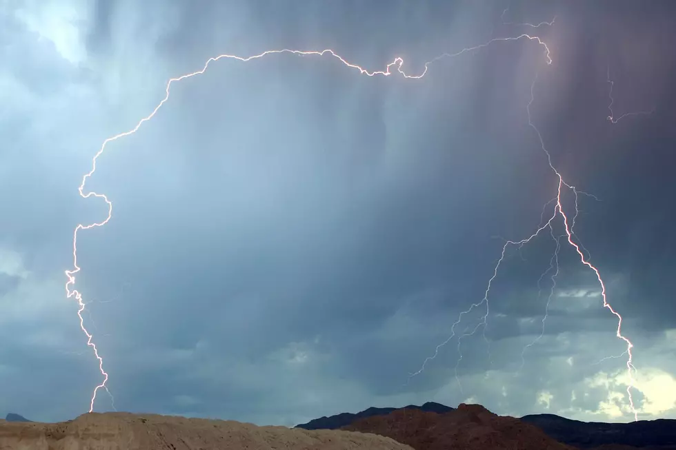
After a hot weekend, expect a very hot Monday with daytime highs in the upper 90s near the century mark in many areas of the state. With the hot weather comes unstable air and the likely hood of very severe weather for North Dakota and the Midwest.
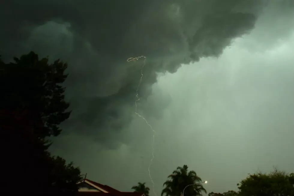
We could be in for another round of rough weather for the Bismarck-Mandan area as the National Weather Service in Bismarck has issued a TORNADO WATCH for the area. UPDATE- FLASH FLOOD WARNING until 2:30 AM Sunday for Burleigh County!
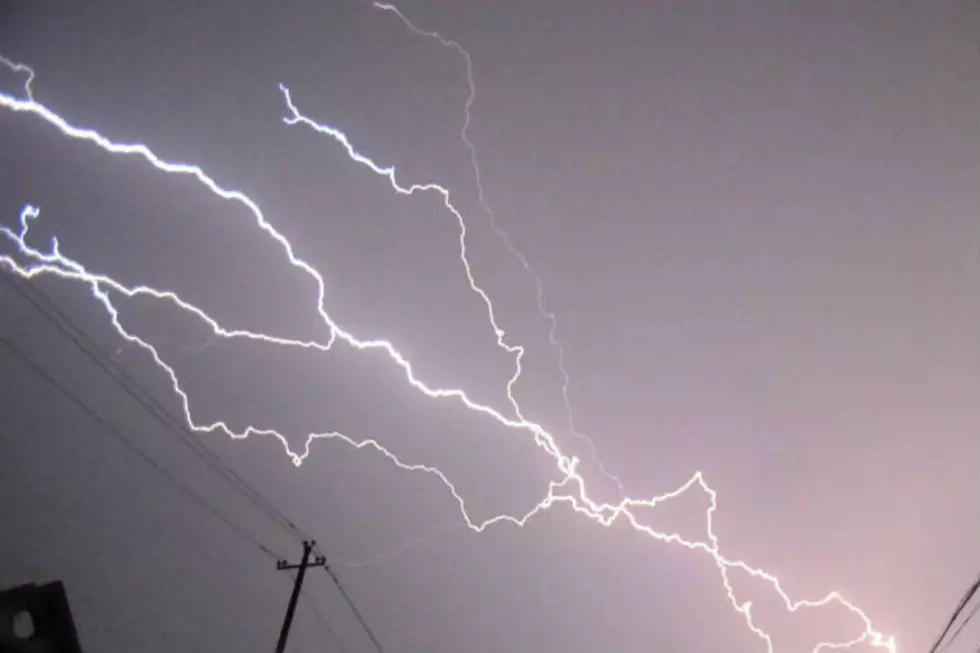
NWS has issued a TORNADO WATCH in effect for the following counties until 11 PM CST...
A strong low pressure system will move across the region though out the weekend and with the slow movement of this system, the potential of an additional 3-4 inches of rain, higher in some areas are anticipated this weekend according to the National Weather Service in Bismarck.