Severe Weather Possible Across North Dakota Starting This PM
I don't know about your yard, but my lawn is starting to yellow and brown up. We could use a shot of rain in Bismarck Mandan and we have a chance this afternoon. Let's hope we see some raindrops today, unlike last Friday when beneficial rains formed all around us, but we didn't see a drop. Yep, I'm starting to think the Bismarck Bubble wants to play again.
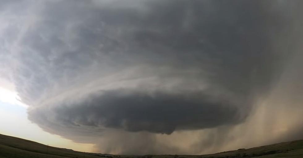
As I type this article, there are a few thunderstorms starting to pop up north of Bismarck Mandan. Some of these storms could become severe late this afternoon and evening. Quarter-size hail and wind gusts up to 60 miles per hour are possible. The further east you go from Bismarck the odds increase for more severe weather. Jamestown to Devils Lake and Grand Fork to Fargo have better odds for severe storms. Stronger winds, larger hail, and even a few tornadoes.
Here's the latest map from the Storm Prediction Center from the National Weather Service.

As you can see by the map, Bismarck Mandan is right on the edge of more favorable severe thunderstorms.
We certainly don't want the hail, but a little moisture would be appreciated for those of us who have water bills to pay. Not to mention all of the farmers with crops in the ground. I myself HATE wasting money on my grass, so how about a little help mother nature. I would say you owe us for the last two summers of drought.
LOOK: The most extreme temperatures in the history of every state
Gallery Credit: Anuradha Varanasi
Top 10 Richest Cities In North Dakota
More From US 103-3